Travel Medicine
Business Travel Medicine
Easily manage your reservations and stay constantly updated on Ambimed services.

|
Country Name |
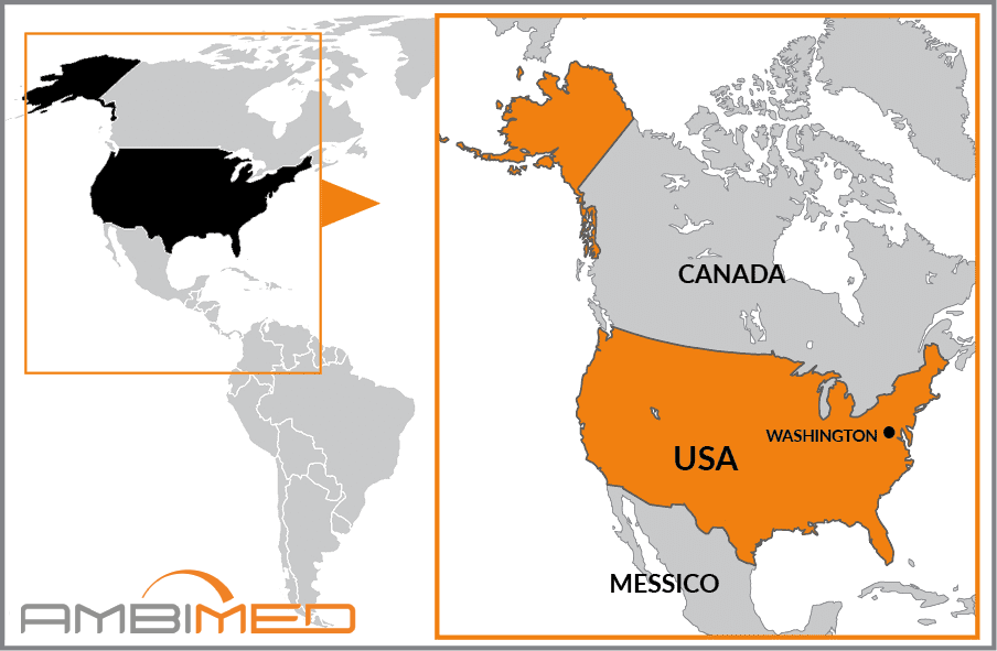
united states of america |
|
Continent |
North America |
|
Surface area |
9,372,614 km2 |
|
Capital |
Washington |
|
Population |
310,930,000 |
|
Language |
English |
|
Currency |
U.S. dollar |
|
Time zone |
From -6hrs relative to Italy (east coast) / from -9hrs relative to Italy (west coast) |
|
Area code for Italy |
01139 |
|
Area code from Italy |
001 |
There have been no relevant reports in the past 90 days.
Vaccination is not required.
Infection typically occurs through contact with the saliva of an infected animal, usually through bites, scratches or licks near open wounds or membranes (mouth, nose, eyes). The most common vectors are dogs and bats, but cases of infection in other domestic animals have also been reported.
Caused by toxins released by the bacterium Clostridium tetani, there is an endemic risk of contracting tetanus throughout the country.
These diseases are spread by mosquito bites and there is no vaccine. Therefore, it is important to take preventive measures by implementing behavioural prophylaxes.
The following vaccinations are strongly recommended as these diseases can be contracted anywhere in the world. Experts advise that you protect yourself and other travellers by making sure you are up-to-date with all of the recommended vaccinations. This will allow you to travel safely, while minimising the risk of exposure to infection.
The federal United States of America has 50 member states, not all of which have territorial continuity: in fact, Alaska and Hawaii are separate. In addition to these, other territories belong to the U.S. as dependencies (Midway Islands), as unincorporated territories (Virgin Islands, Guam Island, American Samoa, the associated free state of Puerto Rico), as commonwealths (Northern Mariana Islands), and finally as a leased military base, Guantanamo Bay in Cuba. It borders Canada to the north and Mexico to the south; it faces the Atlantic Ocean to the east, the Pacific Ocean to the west, and the Gulf of Mexico to the south.
The Atlantic coastline is low and sparsely developed and hosts the estuaries of three major rivers upon which the cities of New York, Washington and Savannah are built. To the south it develops into the Florida Peninsula.
The Appalachian Mountains rise slightly inland and edge the eastern side for about 2,500 km in a northeast-southwest trend. This chain produces many tributaries of the Mississippi River, which originates in the state of Minnesota and, after over 3,700 km, flows into the Gulf of Mexico.
West of the Mississippi to the foothills of the Rocky Mountains lies the Great Plains region. The western half of the country inscribed between the Rocky Mountains and further west by the Cascade Range and the Coast Range, is a broad, arid plateau, characterised to the south by the erosion of the Colorado River that carved the Grand Canyon. The terrain becomes increasingly arid proceeding westward, where there are some desert areas that drop below sea level.
The climate of the U.S. is mostly continental rather than oceanic, due to the presence of mountainous barriers. The coastal belts are subject to the influence of the oceans and air masses; rainfall is in fact frequent here. Temperatures vary; in general they are regulated by sea currents and the elevation layouts, and fall heading northward. The tropical influence occurs on the southern side, where typhoons are not uncommon during late summer.


