Travel Medicine
Business Travel Medicine
Easily manage your reservations and stay constantly updated on Ambimed services.

|
Country Name |
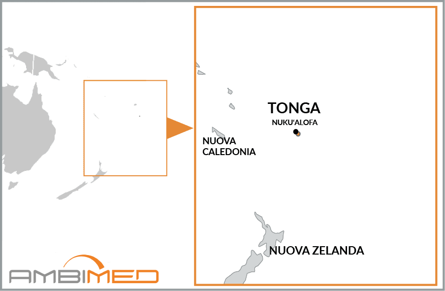
Kingdom of Tonga |
|
Continent |
Oceania |
|
Surface area |
747 km2 |
|
Capital |
Nuku'alofa |
|
Population |
107,053 (2016 estimate) |
|
Language |
Tongan, English |
|
Currency |
Pa'anga (TOP) |
|
Time zone |
+12hrs compared to Italy |
|
Area code for Italy |
0039 |
|
Area code from Italy |
00676 |
There have been no relevant reports in the past 90 days.
Yellow fever vaccination is not required.
Hepatitis A is usually transmitted by contaminated food and water, or close physical contact with an infected person, whereas Hepatitis B is transmitted by exposure to infected body fluids and blood.
Infection typically occurs through contact with the saliva of an infected animal, usually caused by bites, scratches or licks near open wounds or mucous membranes (e.g. mouth, nose, eyes). The most common vectors are dogs and bats, but cases of infection in other domestic animals have also been reported.
Caused by toxins released by the bacterium Clostridium tetani, the risk of tetanus infection is present throughout the country.
Bacterial in origin, typhoid fever is transmitted through contaminated food and drink, especially in regions with inadequate sanitary conditions.
These diseases are spread by the bites of infected mosquitos and there are no vaccines. Consequently, it is important to adopt careful behavioural and preventive measures.
The following vaccinations are strongly recommended as these diseases can be contracted anywhere in the world. Experts advise that you protect yourself and other travellers by making sure you are up-to-date with all of the recommended vaccinations. This will allow you to travel safely, while minimising the risk of exposure to infection.
Tonga is an island country located in the Pacific Ocean, and it also comprises an archipelago of more than 150 islands in Polynesia.
The islands are arranged into two almost parallel groups, oriented from northeast to southwest. The eastern islands, where the largest islands are located, are madreporic and low-lying with very little elevation. In contrast, the western group are volcanic islands, with largely mountainous terrain and more higher elevations (over 1,000 meters on Kao Island).
The climate is tropical, with average monthly temperatures ranging from 20°C in August and 26°C in February. Rainfall is abundant and tends to be concentrated in the warm season between December and May.


