Travel Medicine
Business Travel Medicine
Easily manage your reservations and stay constantly updated on Ambimed services.

|
Country Name |
Hungary |
|
Continent |
Europe |
|
Surface area |
93,030 km² |
|
Capital |
Budapest |
|
Population |
9,908,000 |
|
Language |
Hungarian |
|
Currency |
Hungarian Forint (HUF) |
|
Time zone |
The same as Italy |
|
Area code for Italy |
0039 |
|
Area code from Italy |
0036 |
There have been no relevant reports in the past 90 days.
Yellow fever vaccination is not required.
This viral disease is transmitted by the bite of infected ticks. Vaccination is recommended when staying in areas with a higher risk of infection. The risk decreases in the winter months.
Hepatitis A is usually transmitted by contaminated food and water, or close physical contact with an infected person, whereas Hepatitis B is transmitted by exposure to infected body fluids and blood.
Infection typically occurs through contact with the saliva of an infected animal, usually caused by bites, scratches or licks near open wounds or mucous membranes (e.g. mouth, nose, eyes). The most common vectors are dogs and bats, but cases of infection in other domestic animals have also been reported.
Caused by toxins released by the bacterium Clostridium tetani, the risk of tetanus infection is present throughout the country.
Diseases such as Crimean-Congo Haemorrhagic Fever, Leishmaniasis, and West Nile virus are present in Southern Europe. As these diseases are transmitted by insect bites and there are no vaccines, it is important to adopt careful behavioural and preventive measures.
The following vaccinations are strongly recommended as these diseases can be contracted anywhere in the world. Experts advise that you protect yourself and other travellers by making sure you are up-to-date with all of the recommended vaccinations. This will allow you to travel safely, while minimising the risk of exposure to infection.
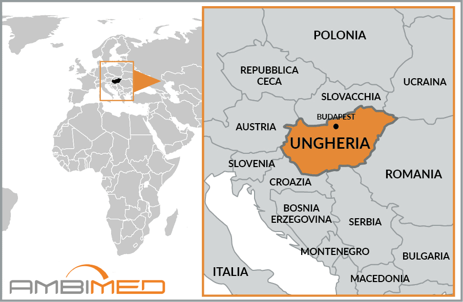
Hungary borders Slovakia to the north, Ukraine to the northeast, Romania to the east, Serbia and Croatia to the south, and Slovenia and Austria to the west.
More than 70 percent of the territory is covered by plains. There are elevations in the north, toward the border with Slovakia, but they are not particularly high (the highest peak is just over 1,000 m). Lake Balaton, which is the largest and most important, also from an economic and tourism perspective, is located on the west side, in a primarily hilly region. The country’s major river systems are the Danube and the Tisza; between these two rivers lie stretches of cultivated and uncultivated land, dominated by steppe.
The climate is continental, mitigated by both Atlantic and Mediterranean marine influences. In fact, in winter, average temperatures never fall below -4°C in the mountainous regions, while in summer they remain around 22°C in the south-east. Rainfall is not very abundant and tends to fall in the western and northern areas.


