Travel Medicine
Business Travel Medicine
Easily manage your reservations and stay constantly updated on Ambimed services.

|
Country Name |
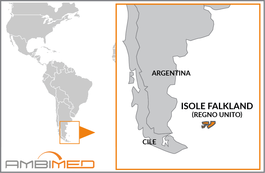
Falkland Islands |
|
Continent |
South America |
|
Surface area |
12,173 km² |
|
Capital |
Stanley |
|
Population |
3,398 |
|
Language |
English |
|
Currency |
Falkland Islands Pound (FKP) |
|
Time zone |
-5hrs compared to Italy |
|
Area code for Italy |
0039 |
|
Area code from Italy |
00500 |
There have been no relevant reports in the past 90 days.
Yellow fever vaccination is not required.
Hepatitis A is usually transmitted by contaminated food and water, or close physical contact with an infected person, whereas Hepatitis B is transmitted by exposure to infected body fluids and blood.
Caused by toxins released by the bacterium Clostridium tetani, the risk of tetanus infection is present throughout the country.
Diseases such as Chikungunya, Leishmaniasis, American trypanosomiasis (Chagas Disease) and West Nile virus are present in South America. As these diseases are transmitted by insect bites and there are no vaccines, it is important to adopt careful behavioural and preventive measures.
The following vaccinations are strongly recommended as these diseases can be contracted anywhere in the world. Experts advise that you protect yourself and other travellers by making sure you are up-to-date with all of the recommended vaccinations. This will allow you to travel safely, while minimising the risk of exposure to infection.
The Falkland Islands is an archipelago and British overseas territory in the Atlantic Ocean, to which Argentina maintains its claim. As the crow flies, the islands are approximately 4,800 km from the nearest point of the South American coast. In addition to the two main islands (West Falkland or Grand Malvina and East Falkland or Soledad), a good 200 islets and reefs belong to the territory. The terrain is generally flat and littered with swamps and peat bogs, with the highest elevation (Mount Adam on the western island) standing at little more than 700 m above sea level. The extremely deep and jagged coastlines makes it ideal for harbouring boats.
The climate is cold and humid, and the region is beaten by cold westerly winds, which prevent snowfall (which is not very frequent) from lingering on the ground too long in winter, and only allows for the growth of low-lying vegetation (e.g. grass, moss and lichen). Temperatures never drop too significantly due to the archipelago's location, just above the Antarctic convergence, where the icy waters of the Antarctic meet the warmer waters of the Atlantic, which fall to approximately 2°C in winter and rarely go over 11°C in January, the warmest month.


